


The Hidden Cost of Survey Delays (And How to Prevent Them)
Busy does not always mean productive. In civil engineering and infrastructure planning across Ireland, relying on overstretched or under-resourced surveying teams often leads to critical schedule slips.
These delays carry a heavy financial burden that project managers cannot afford to absorb. When ground survey data is delivered late, the entire design programme stalls.
Preventing survey delays requires a shift away from reactive survey contractors and towards partners who prioritise proper planning and execution.
At iO Geomatics LTD we believe in doing things differently.
- Plan properly
- Resource properly
- Mobilise properly
- Deliver properly
The Ripple Effect of Poor Site Mobilisation
A lack of preparation at the surveying stage creates a chain reaction of costly bottlenecks. Infrastructure planners frequently encounter these core issues when survey contractors fail to mobilise correctly.
- Scheduling difficulty: Waiting too long for survey data means designers cannot provide an accurate schedule and give certainty to their own client.
- Design team roadblocks: Engineers cannot finalise their models without accurate, timely ground reports.
- Missed critical path milestones: Early delays compound, pushing back final handover dates and maybe trigger severe financial penalties on public works contracts.
How Correct Resourcing Guarantees Project Turnaround
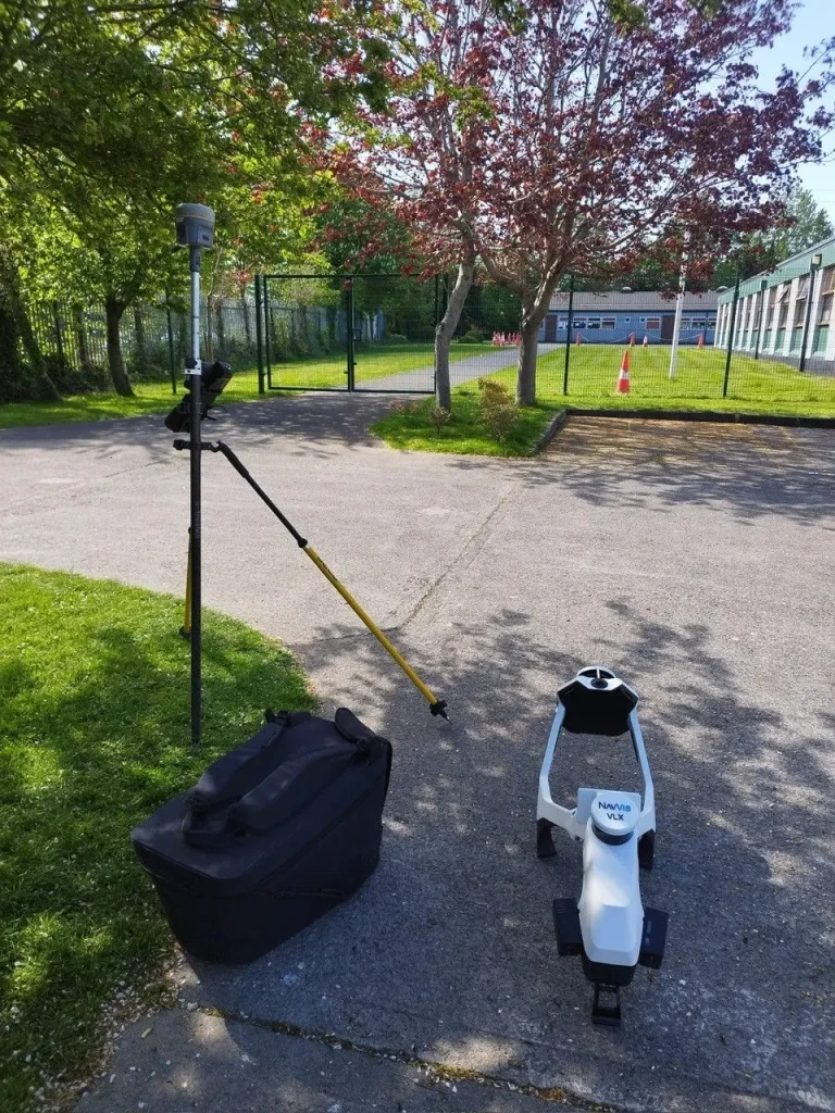
Turning a delayed project around demands more immediate action and the right technology. Deploying advanced equipment allows for rapid data capture without compromising on survey accuracy.
We invest heavily in modern surveying technology to ensure fast and reliable site mobilisation. This approach removes the guesswork from tight schedules and gets your civil engineering project back on track immediately.
- Rapid data capture: Mobile mapping systems and UAV drastically reduce the time spent physically on site.
- Accurate baseline delivery: High-quality spatial data prevents costly rework later in the construction phase.
- Predictable timelines: Proper resourcing guarantees data is handed over exactly when promised.
Organised Delivery in High-Stakes Environments
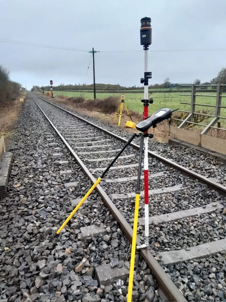
Complex environments demand a disciplined approach to risk and planning. Whether working near live rail lines or busy highways, safety and precision must be paramount.
Our team is built to handle high-risk zones in a professional manner without extending deadlines. We focus on clear communication and robust project turnaround strategies to keep your site moving forward safely.
Recently, we have been asked to step into projects where the appointed survey company could not get started or deliver within the required timeframe.
Why does this happen?
They have too many projects running at the same time and not enough planning.
The iO Geomatics approach is simple:
- Do not overpromise
- Do not overload the programme
- Keep our clients informed
- Turn up when we say we will
- Deliver accurate data on time, every time
Whether it’s:
Our qualified geospatial surveyors and experienced project teams focus on one thing:
Getting the job done right.
- No drama.
- No excuses.
- No chasing.
Just organised project delivery from mobilisation through to final deliverables.
If you’ve ever appointed a surveying company only to find they’re too busy to start, perhaps it’s time to try a different approach.
- Planned Mobilisation
- Accurate Surveys
- Reliable Delivery
That’s the iO Geomatics way.
Take Control of Your Project Schedule
Do not let over committed survey contractors dictate your infrastructure timeline. Securing a dependable geospatial data partner is the most effective way to protect your budget and your schedule.
If you need verified ground data delivered accurately and on time, we are ready to deploy.
Submit your project details via our Topographical Survey form to arrange immediate site mobilisation.
One of our qualified staff is always happy to help.
FAQs
Why do site surveys frequently suffer from delivery delays?
Most delays occur when contractors overpromise and take on too many concurrent projects. This leads to a severe lack of planning and an inability to mobilise resources when required.
How does iO Geomatics guarantee reliable project turnaround?
We operate strictly on a framework of planning, resourcing, and mobilising properly. We never overload our operational programme. This ensures we turn up exactly when we say we will.
Will my project management team need to chase for progress updates?
No. Our core standard is calm and organised delivery of projects. We keep our clients fully informed from initial site mobilisation through to the final data handover.
What is the standard for your final deliverables?
Our focus is entirely on getting the job done right the first time. We guarantee accurate spatial data delivered precisely on time to keep your infrastructure project moving safely.


