

At the cutting edge: UAV Surveying for the N58 Foxford Transport Project
Large infrastructure projects demand surveying data you can trust—fast and precise. At iO Geomatics, we recently completed a 2,500-hectare UAV survey for the N58 Foxford Transport Project, delivering engineering-grade outputs in just weeks. From detailed orthophoto mosaics to comprehensive digital elevation models, our aerial mapping supports confident design and planning. Read on to see how our combination of advanced technology and deep surveying expertise sets new standards for infrastructure surveying. Discover more about the project here.
UAV Survey: Precision in Action
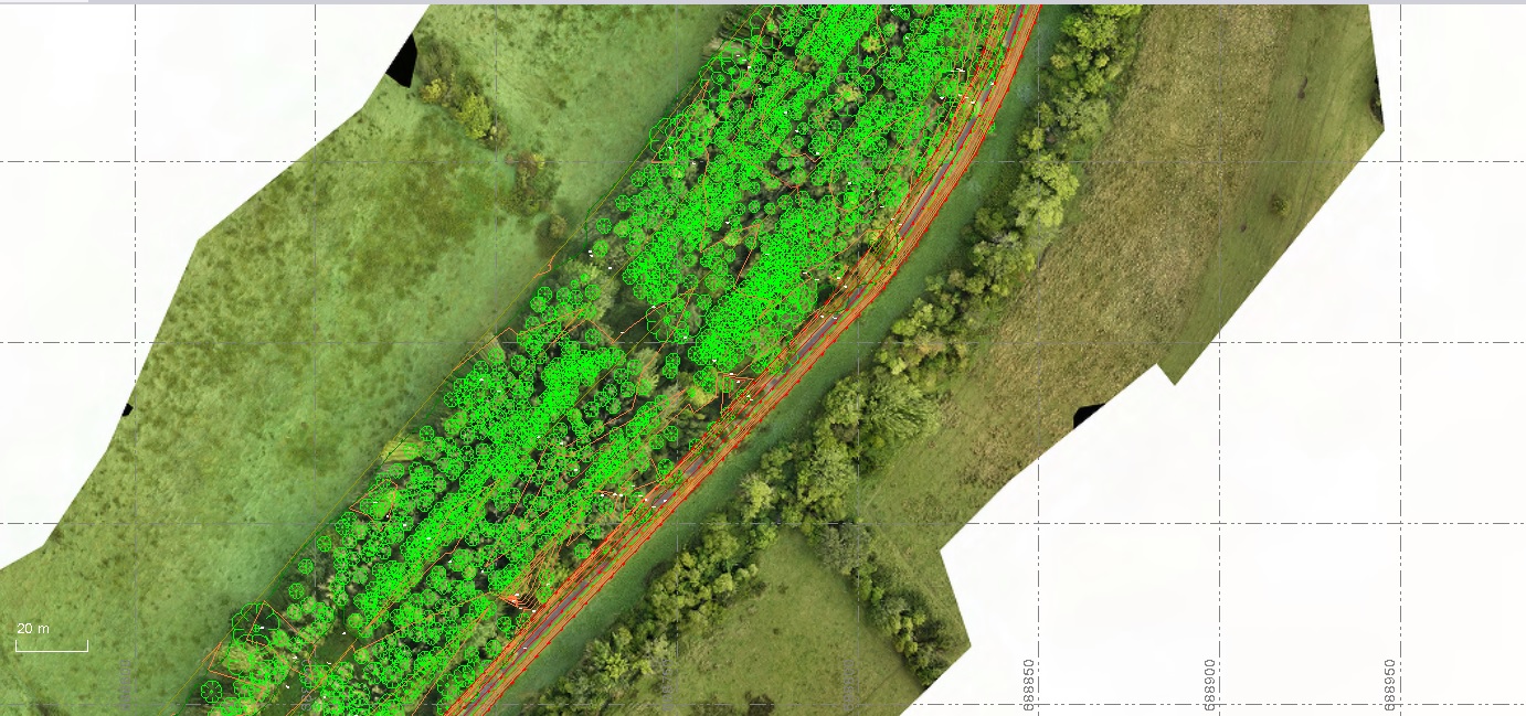
When precision meets action, the results speak volumes. At iO Geomatics, our UAV surveys ensure detailed insights for large infrastructure projects. Let’s explore how high-resolution aerial mapping plays a crucial role.
High-Resolution Aerial Mapping
Imagine capturing every detail from above with unmatched clarity. Our high-resolution aerial mapping does just that, providing you with comprehensive data. We use cutting-edge drone technology that captures vast areas swiftly, even in challenging terrains. The result? A complete picture that supports accurate design and flawless execution.
Consider a scenario where traditional methods might miss minor details. Our aerial mapping captures these with precision, turning potential oversights into opportunities for better planning. With every pixel delivering vital information, you gain a strategic advantage.
Meeting Engineering Standards
Meeting standards isn’t just a goal—it’s a promise. At iO Geomatics, we deliver engineering-grade outputs essential for infrastructure projects. Our surveys ensure that every piece of data meets industry standards, providing reliability and accuracy you can trust.
Our team of experts works tirelessly to ensure that data is not only precise but also actionable. This commitment means you receive information ready for immediate application in your projects. By maintaining high standards, we help you avoid costly errors and ensure smooth project progression.
Learn more about how we integrate advanced technology into our projects.
N58 Foxford Transport Project Success
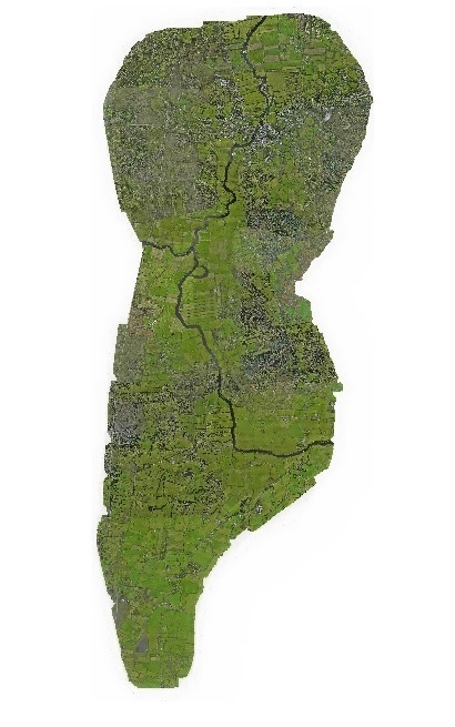
Our success with the N58 Foxford Transport Project showcases our ability to overcome challenges and deliver exceptional results. Dive into how we managed weather hurdles and provided comprehensive deliverables.
Overcoming Weather Challenges
Weather can be unpredictable, but our expertise shines through. During the N58 project, we faced harsh conditions, yet our team adapted quickly. By using advanced UAV technology, we flew over 2,500 hectares, capturing vital data without delay.
Our drones are equipped to handle various climates, ensuring data collection continues uninterrupted. This adaptability means your projects won’t suffer setbacks, keeping timelines intact and budgets under control. Most people believe weather is a barrier, but we turn it into a mere backdrop.
Comprehensive Survey Deliverables
With the N58 project, what we delivered was nothing short of comprehensive. From orthophoto mosaics to a 2m Grid Digital Elevation Model (DEM), our outputs covered every need. This in-depth data allowed for precise planning and execution, reducing the margin for error.
Our reports don’t just list data—they tell a story. Each deliverable is designed to offer insights that drive informed decisions. This level of detail ensures that your project foundations are solid, paving the way for successful outcomes.
Explore the full scope of the N58 Foxford Transport Project.
Expertise in Advanced Surveying Technologies
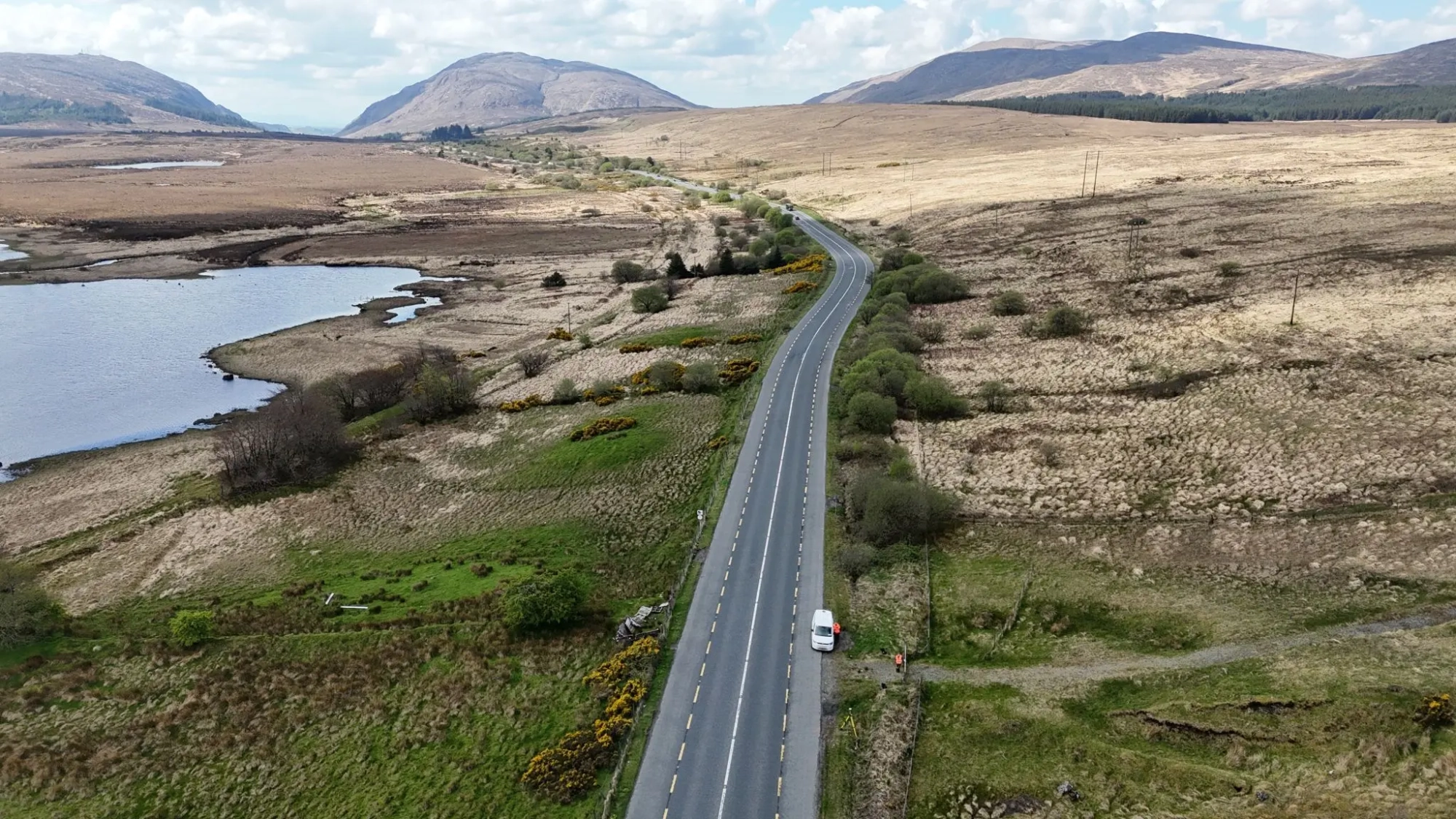
Our expertise isn’t just about technology—it’s about integrating it smartly. Discover how photogrammetry and LiDAR work together to offer unmatched surveying precision.
Photogrammetry and LiDAR Integration
Integrating photogrammetry with LiDAR creates a powerful synergy. Photogrammetry captures detailed images, while LiDAR measures distances with laser precision. Combined, they offer a complete view that is both wide and deep.
This integration allows us to capture more data in less time, providing you with a rich dataset. Whether you’re working on urban planning or complex infrastructure, this approach ensures you have the detailed information necessary for confident decision-making.
Here’s the key insight: by combining these technologies, we break down barriers, offering a clarity that traditional methods can’t match. It’s not just data—it’s a new way of seeing your projects.
Trusted Partner for Infrastructure Projects
In the world of surveying, trust is paramount. At iO Geomatics, we stand as a dependable partner, offering not only technical expertise but also a commitment to excellence. Our track record with projects like N58 Foxford speaks volumes about our reliability.
Our clients often say they choose us for our precision and speed—qualities that stem from decades of experience and a team of dedicated professionals. When you’re planning your next big project, consider a partner who delivers not just data but peace of mind.
See how our trusted partnership can support your projects.
In the realm of infrastructure surveying, precision is key. At iO Geomatics, we consistently deliver high-quality, reliable data that supports your project from start to finish. With advanced technologies and a commitment to excellence, we’re your go-to partner for success.


