

Revolutionising Road Surveys: The Power of Mobile Mapping Technology
Pre-construction and post-construction road surveys have long slowed projects with lengthy delays and traffic disruption. Mobile mapping changes that by capturing precise 3D data from vehicle-mounted LiDAR technology, all without stepping onto the carriageway. This method cuts downtime and traffic management needs while delivering survey accuracy engineers and planners can trust. Read on to see how mobile mapping is reshaping road surveys and infrastructure planning across Ireland. Learn more about mobile mapping here.
Speed and Safety
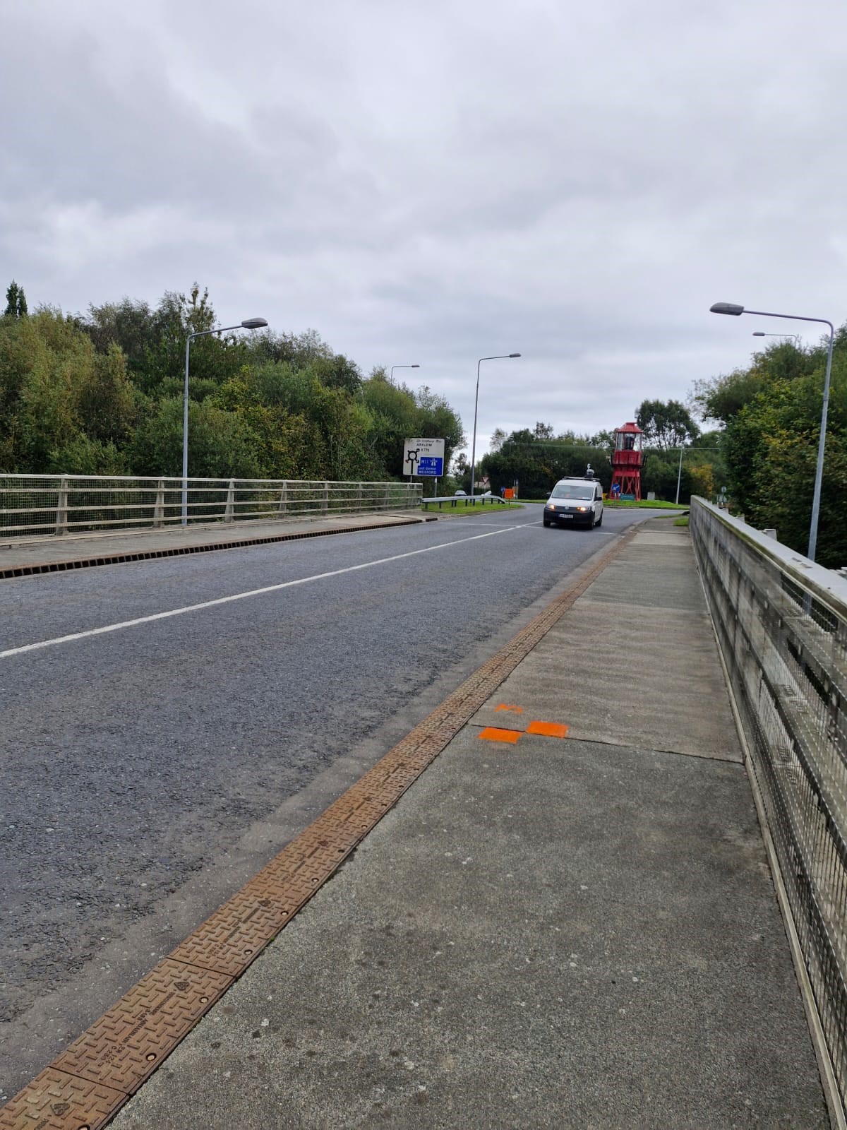
In today’s fast-paced world, speed and safety have become priorities in road surveys. Mobile mapping technology offers both, reshaping how surveys are conducted.
Quick Survey Turnaround
Imagine completing dozens of kilometres of road surveying in just a single day. Mobile mapping technology makes this possible. Mounted on vehicles, LiDAR systems collect data without halting traffic. This method not only saves time but also means fewer disruptions for commuters. You no longer need to worry about long delays that can complicate project timelines. By capturing high-resolution 3D data swiftly, your team can focus more on planning and less on waiting. Curious about the latest advancements? Read more on industry insights.
Enhancing Safety Measures
Safety is another critical benefit of mobile mapping. Traditional surveys often put workers in risky situations, standing on busy roads. But now, data is captured from inside a vehicle, keeping staff safe from live traffic. Moreover, this technology reduces the need for extensive traffic management setups, cutting costs and safety concerns. The longer you wait to adopt this technology, the more you miss out on these significant safety improvements. Want to know why it’s the right time to invest? Discover the reasons here.
Precision and Consistency
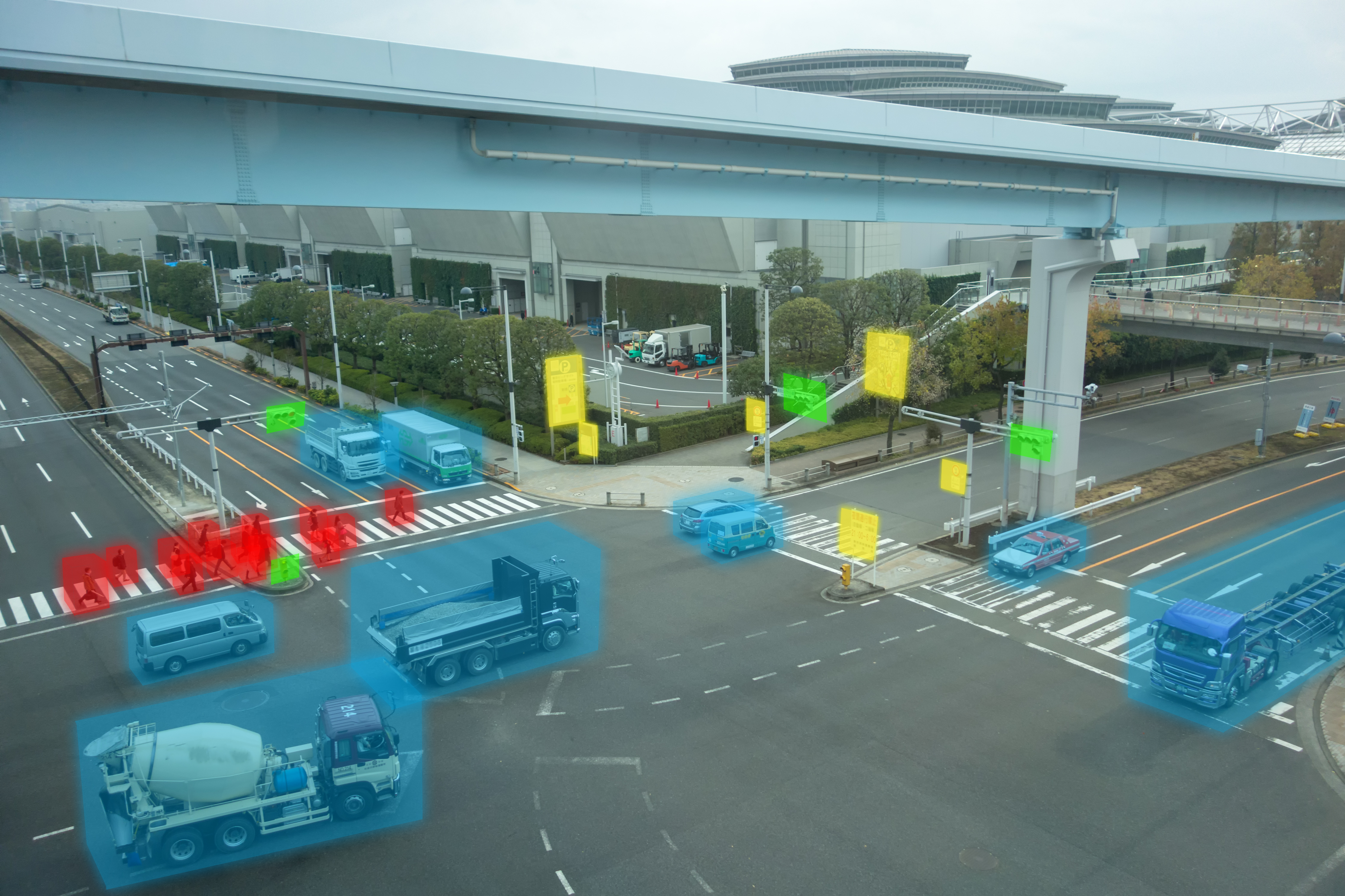
With speed and safety covered, let’s delve into precision and consistency, two crucial factors for successful road surveys.
Ensuring Survey Accuracy
Accurate data is the backbone of any survey project. Mobile mapping delivers millimetre-level precision in 3D models, thanks to its advanced LiDAR technology. This ensures you receive reliable data every time, reducing rework and costly errors. Most people think traditional methods can match this accuracy, but that’s not the case. With mobile mapping, you can trust the data’s precision for all your planning and design needs.
Consistent Data for Verification
Consistency is key, especially when verifying changes post-construction. Mobile mapping allows you to align pre- and post-construction data seamlessly. This means you can detect changes with sub-centimetre accuracy, providing a true digital representation of the road network. By maintaining consistency, you ensure compliance and avoid potential legal issues. Explore how mobile mapping transforms data collection.
Applications in Infrastructure
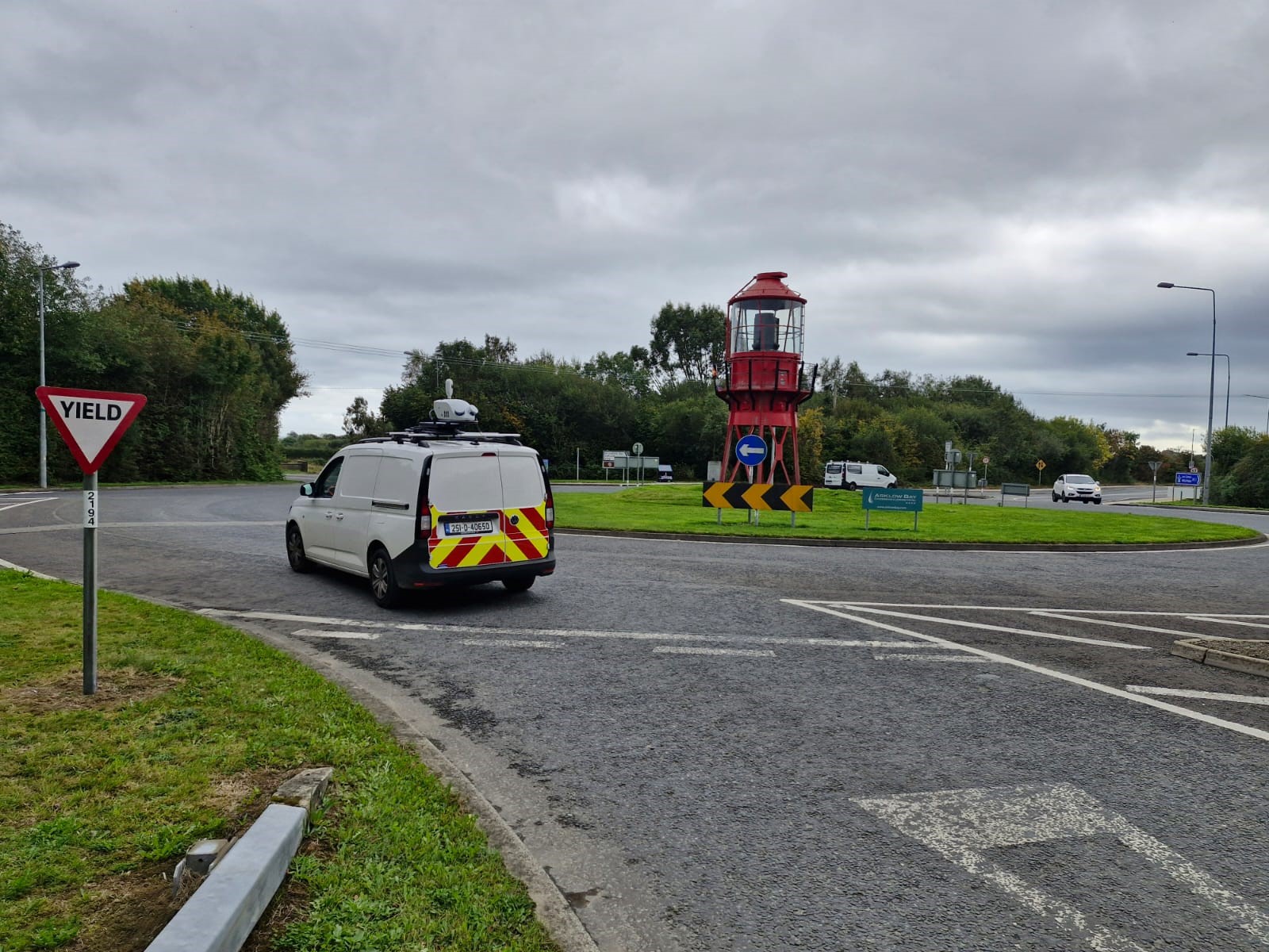
The true power of mobile mapping shines in its applications across infrastructure projects. Let’s explore some key uses.
Pre- and Post-Construction Surveys
Mobile mapping is a game-changer for both pre-construction and post-construction surveys. Pre-construction, it sets up accurate topographic baselines, providing a solid foundation for planning. Post-construction, it ensures everything aligns as planned, keeping your project on track and within compliance. Trust in the data is paramount for engineers and architects; mobile mapping provides that certainty.
Digital Twins and Asset Mapping
Creating digital twins of highways and bridges is now more accessible with mobile mapping technology. These virtual models allow you to monitor asset conditions and plan maintenance effectively. They provide a clear, real-time view of your infrastructure, enabling better decision-making. As more projects move toward data-driven delivery, adopting mobile mapping becomes crucial. See how mobile mapping is driving innovation in surveying services.
In conclusion, mobile mapping is transforming the landscape of road surveys. Its speed, safety, precision, and consistency make it an indispensable tool for engineers, architects, and planners. Embrace this technology today and start your projects on solid ground.


